Ελληνικά
 Deutsch
 Français
 Svenska
 Türkçe
 한국어
한국어 Suomi
Suomi


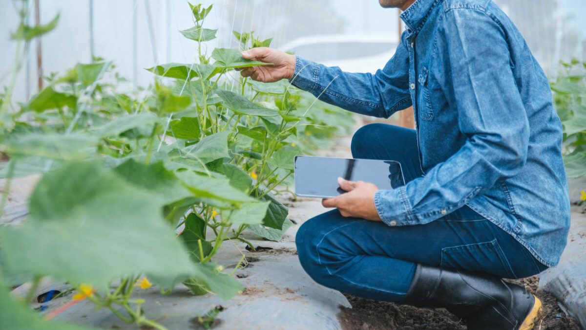
GPS is a crucial tool in farming, helping farmers accelerate their work and achieve improved results. This technology can be used in soil sampling, weed location, precise planning, determination of planting density, harvesting, and yield mapping.
Soil sampling: GPS provides vital data to properly specify soil variability and identify whether a specific type of soil is appropriate for a specific crop. Soil sampling also helps to create a soil profile, discerning between variable and non-variable soils.
Weed location: With the help of linear sampling techniques, GPS can be useful in identifying “patches” of weeds across large land areas. Weeds hinder effective crop growth and also reduce final yields over a given time period.
Precision planning: GPS technology is also useful in planning crop planting. Each seed requires a specific spacing and depth, which depend on the soil type. With GPS, one can determine the distance and depth at which a seed should be sown for maximum yield.
Harvesting: GPS also helps determine the area of the field that is ready for harvest and how the process should be carried out. It also provides an estimate of the size of the harvested area and the expected yield.
Yield mapping: GPS is also useful in generating a yield map by placing a GPS receiver on agricultural equipment or machines and then retrieving the data.