Ελληνικά
 Deutsch
 Français
 Svenska
 Türkçe
 한국어
한국어 Suomi
Suomi


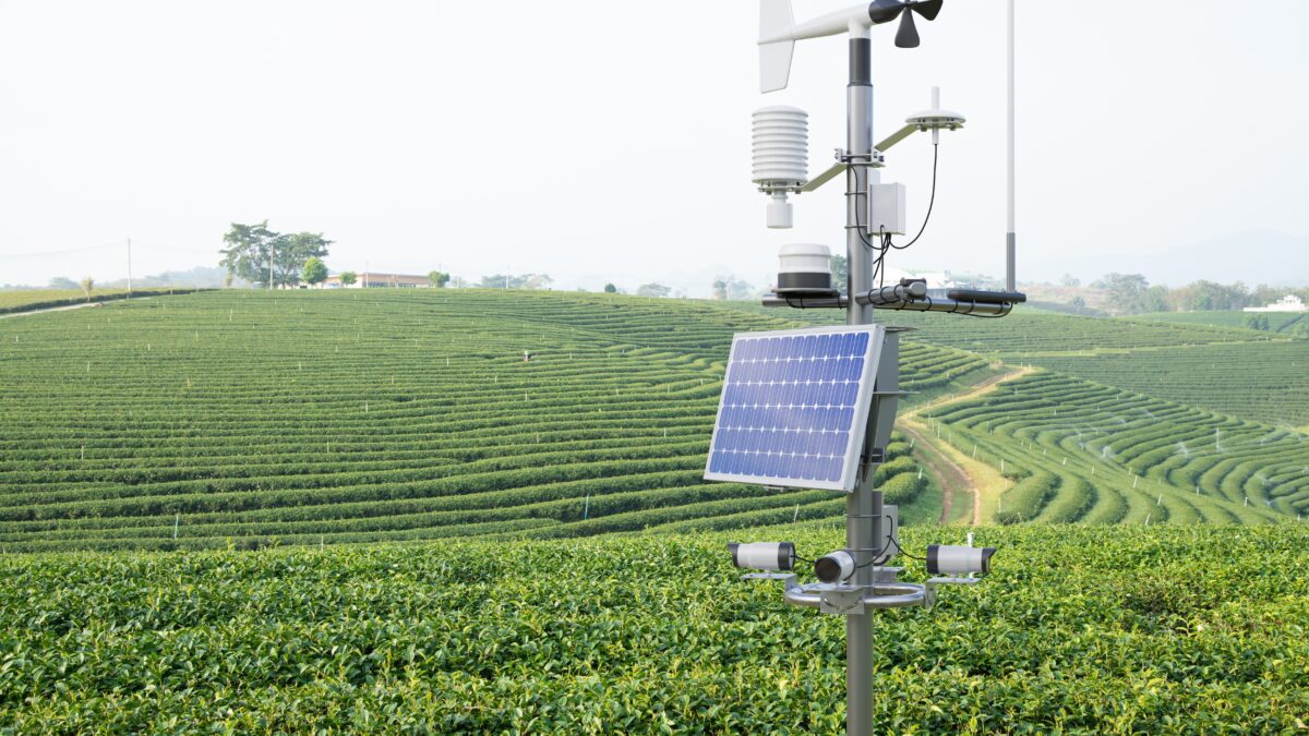
A European programme is helping to reduce energy and fuel consumption in Greek farming vehicles through new technologies and satellite navigation data. The available high-precision positioning systems, which allow mapping and accurate digitization of agricultural holdings as well as the navigation and rerouting of agricultural vehicles, are particularly expensive for farmers. These high costs prevent their adoption, especially by smallholders – the majority of Greece’s farmers. This specific project provides a solution to the high cost, as it uses a set of technologies aimed at providing affordable, high-precision positioning for Greek farmers. To achieve this, satellite navigation data systems are integrated into a network of field telemetry stations connected with internet technologies and agricultural machinery performing field operations. Such technologies enable major energy and fuel savings, in addition to reducing labour costs. Farmers also benefit from spending less time per hectare on farming activities, resulting in less fatigue for tractor operators. Additionally, a low-cost, high-accuracy positioning system can help producers increase their profit margins by adopting precision agriculture practices and highly targeted field interventions. A combination of technologies, such as telemetry stations and satellite navigation data, is needed to achieve this reduction in fuel use through positioning.
The project arose from the observation that some traditional farming practices can be replaced by new, ‘smarter’ ones that leverage technology to the farmer’s advantage.